Wideband spectrum awareness
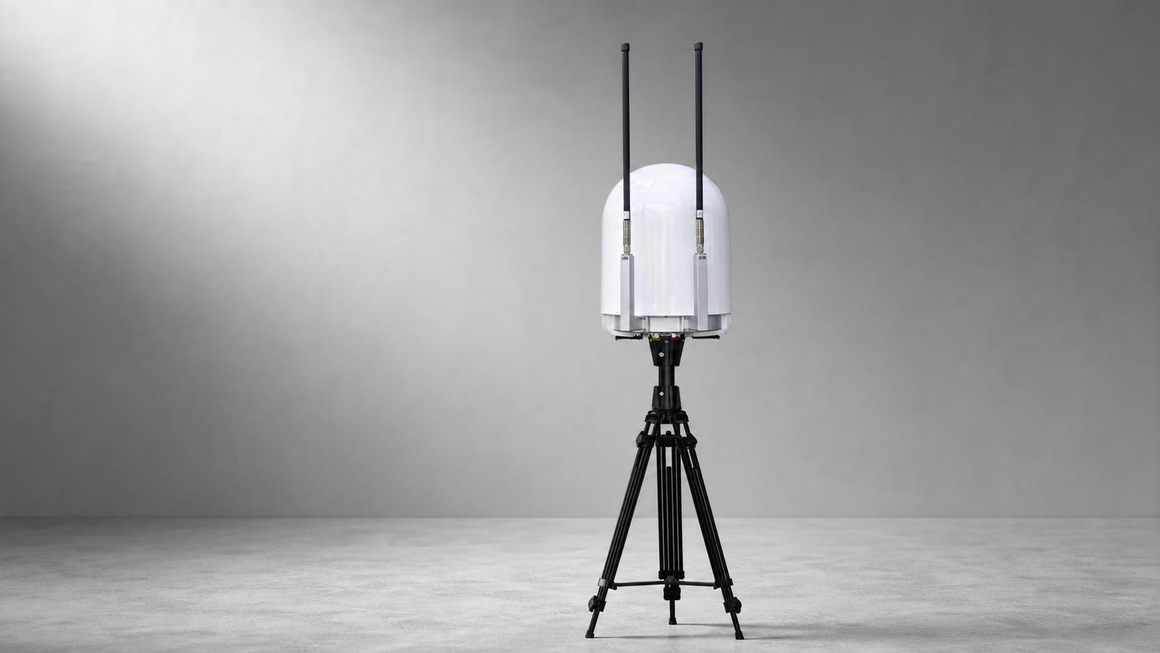
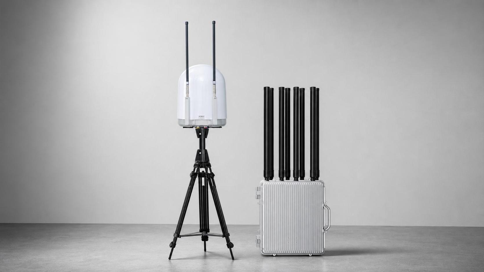
Scans the configured RF range continuously to surface target signals and support rapid classification.
 HYRON YUANSHING
D2D
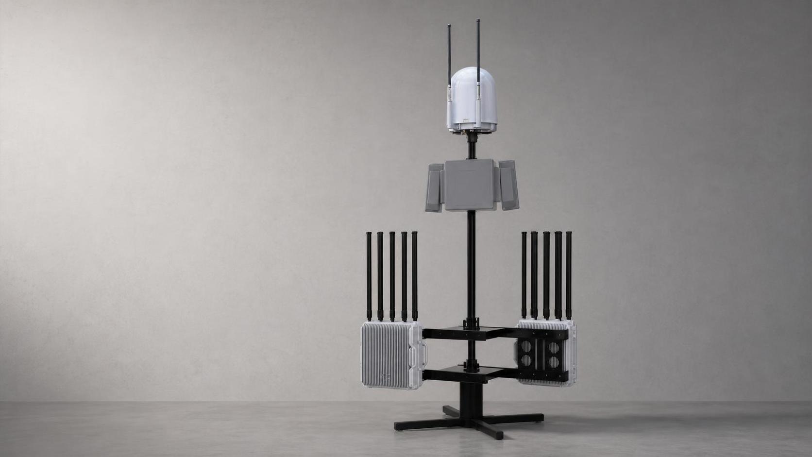
An integrated fixed-site architecture combining RF sensing, radar, EO tracking and controlled response for continuous perimeter operations.
Discuss this systemProduct dossier
An integrated fixed-site architecture combining RF sensing, radar, EO tracking and controlled response for continuous perimeter operations.
Functional highlights
An integrated fixed-site architecture combining RF sensing, radar, EO tracking and controlled response for continuous perimeter operations.
Scans the configured RF range continuously to surface target signals and support rapid classification.
Radar adds independent range, azimuth and elevation measurements for continuous low-altitude tracking.
Visible and thermal channels support confirmation, tracking and operation in changing light conditions.
Combines RF, radar and EO/IR observations into a shared track and operating picture.
Supports operator-controlled action across the configured bands within the project's legal authorization.
Monitors device state and connectivity so operators can see faults and degraded operation early.
Technical data
Labels are translated for readability. Figures, units, ranges and option markers follow the source catalog without combining entries.
Source catalog pages 9-10Detection, positioning and controlled-response configurations are provided for lawful, authorized use. Spectrum, aviation, privacy, import and operating approvals remain project-specific.
Share the site, required outcome and regulatory boundary. We will structure the right technical discussion.
Discuss a project