Configured around the site, operating procedure, local spectrum rules and evidence required for acceptance.
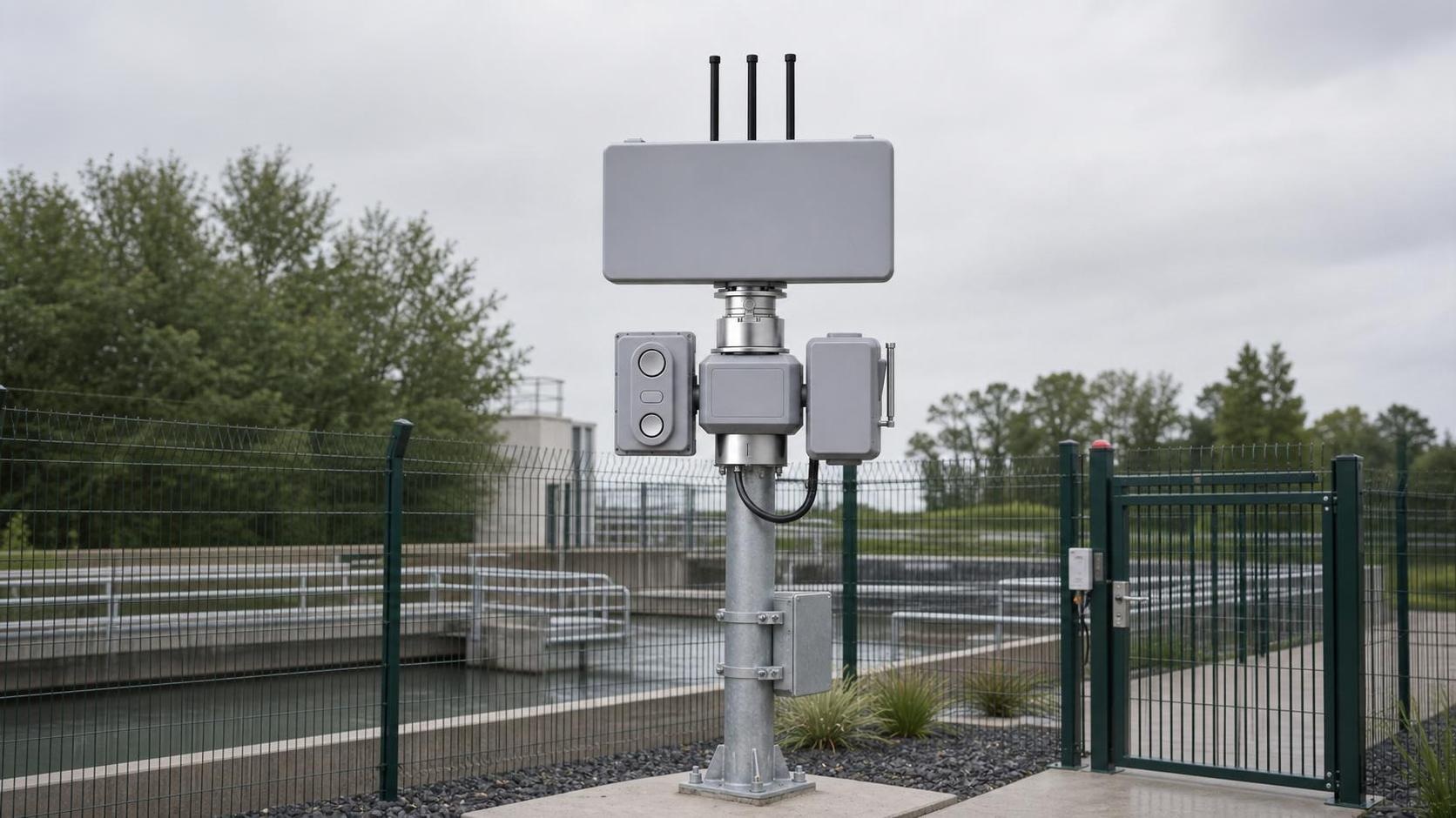
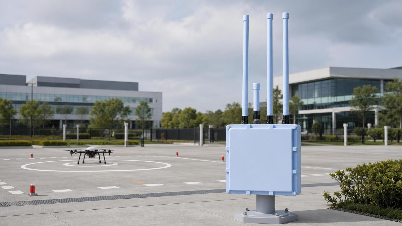
Critical infrastructure perimeter
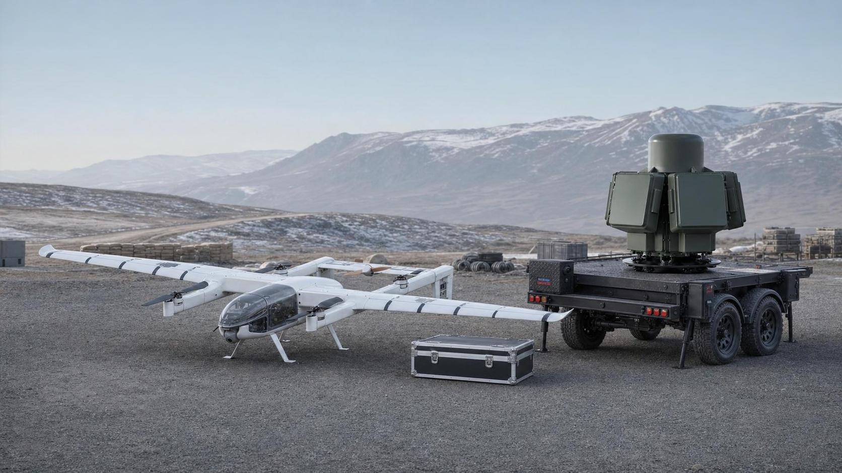
Layer passive RF awareness, Remote ID, radar and EO/IR verification around the protected asset, with a common operating picture, allowlists, event evidence and authorized response workflows.
D2A / D2D / D2-RID / D2-S1 / D6-A
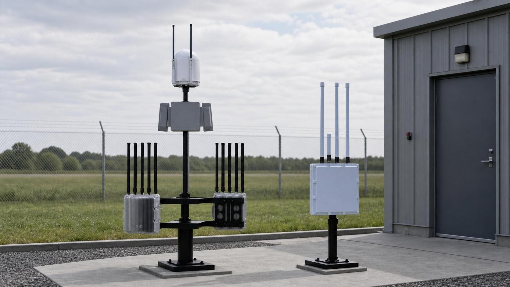
Airports and transport hubs
Design coverage around approach paths, terminals, yards and restricted areas while protecting operational continuity, authorized aircraft movements and the site's spectrum and aviation constraints.
D2A PRO / D2D / D2-RID / D2-S1
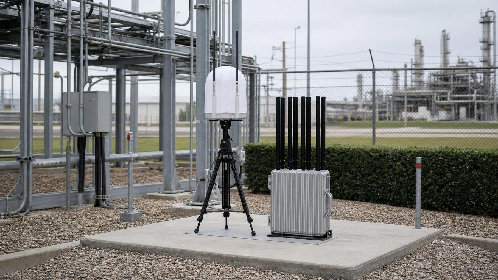
Energy and industrial facilities
Protect power, petrochemical, storage and process areas with fixed perimeter sensing, mobile verification, evidence retention and response zones defined against hazardous operations and site permits.
D1-AB / D2A1 / D2D / D6-AB
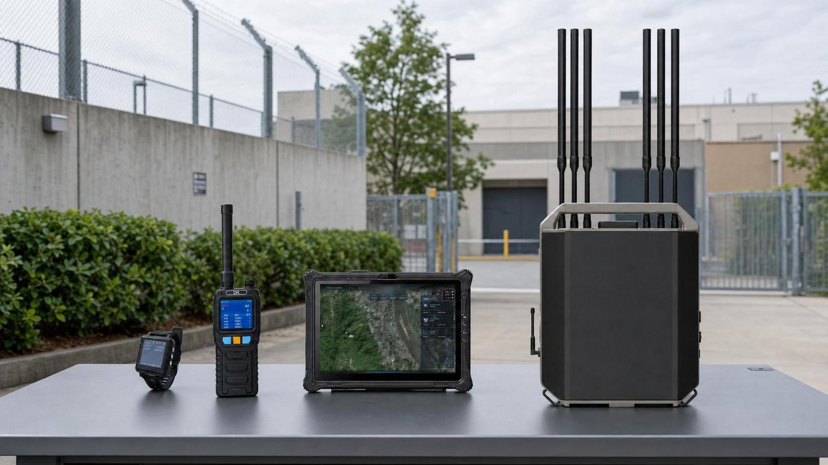
Correctional and public-safety facilities
Build early warning and evidence-led incident handling around secure compounds, using passive detection, operator and aircraft positioning, portable patrol tools and logged authorization steps.
D2A / D2-RID / D4-E / D6-A / D6-AB
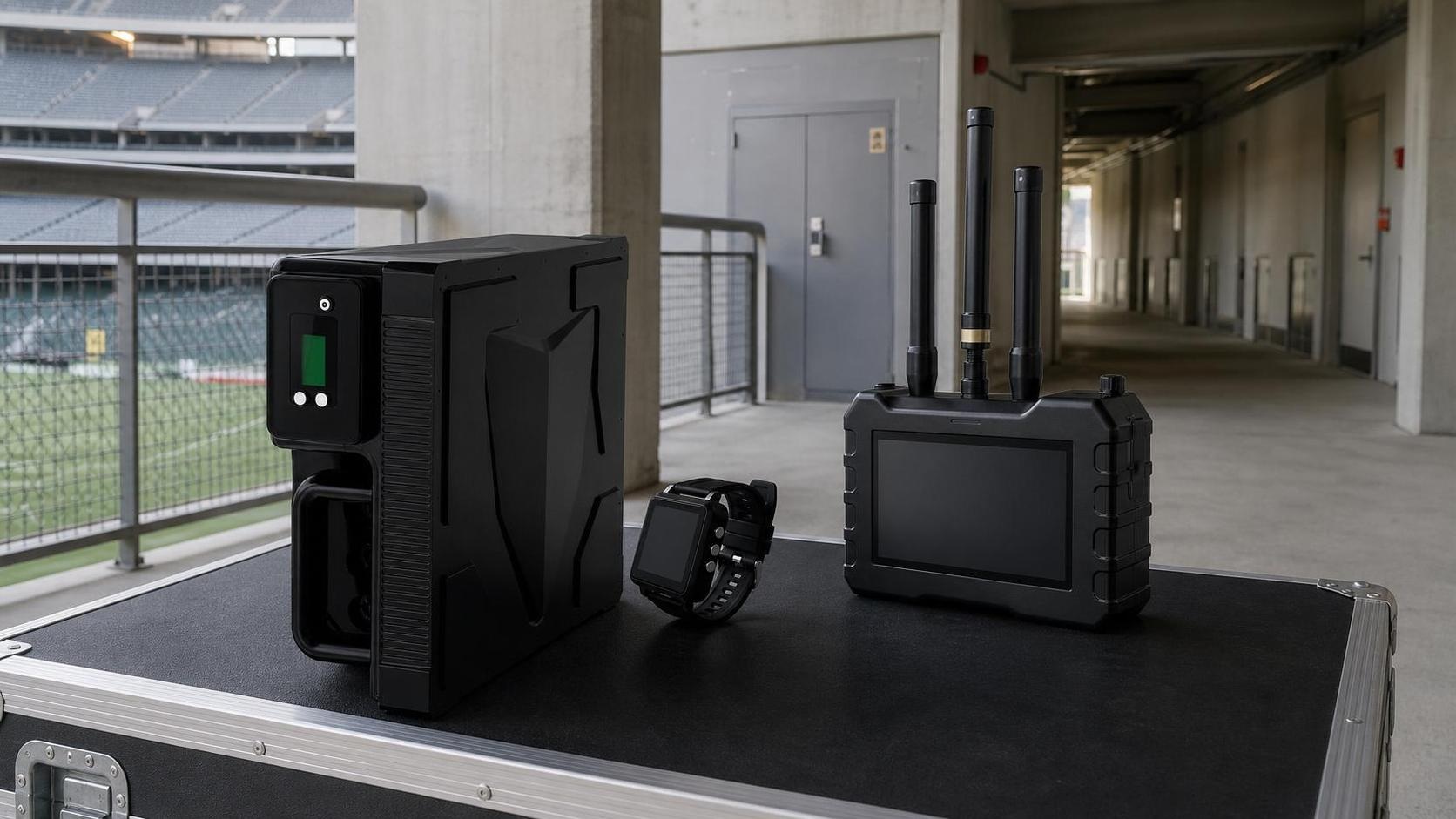
Public venues and major events
Deploy temporary, low-footprint protection for stadiums, exhibitions and ceremonies, with pre-event survey, temporary allowlists, team alerts, evidence capture and rapid removal after the event.
D1-AB / D3-A / D4-D / D4-E / D5-AB
Low-altitude test zones, campuses and industrial parks
Separate approved operations from exceptions through Remote ID, allowlists, geofenced procedures and shared operating dashboards, while supporting training, trials and routine site management.
D2-RID / D2A / D4-E / D6-A
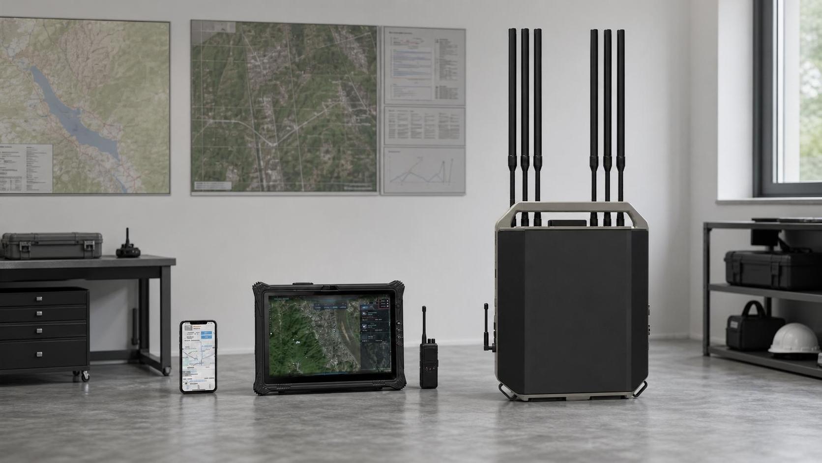
Regulatory monitoring and incident evidence
Create a defensible record of aircraft identity, position, trajectory, video, alert state and operator actions, with retention rules, role-based access and export to authorized customer systems.
D2-RID / D4-D / D6-A / API
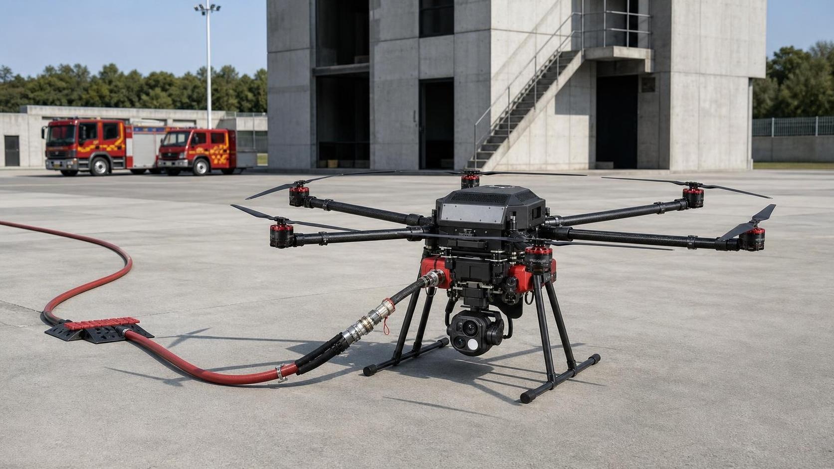
High-rise firefighting support
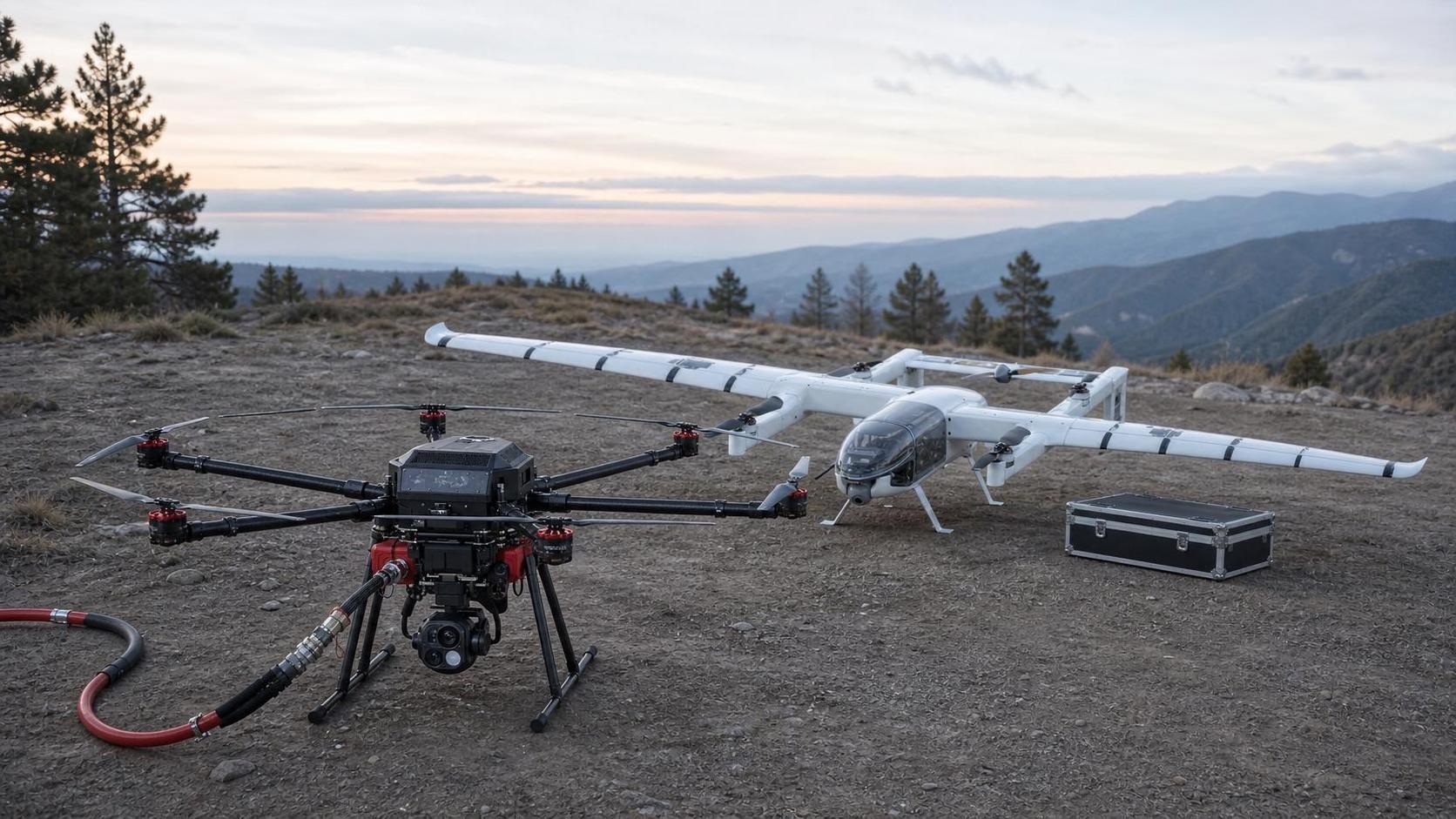
Use a tethered heavy-lift aircraft for sustained water delivery, thermal observation and facade access support, integrated with ground pumps, hose management, command procedures and safety exclusion zones.
GX12 / EO/IR / DN40
Wildland fire observation and response
Combine persistent aerial observation, thermal hotspot search, mapping and tethered water delivery where terrain permits, with mission planning, communications and incident-command integration.
GX12 / Falcon-60 / EO/IR
Industrial and corridor inspection
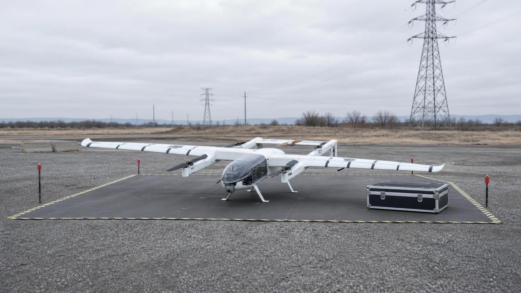
Configure runway-independent aircraft, EO/IR payloads, mapping workflows and ground software for power lines, pipelines, transport corridors, industrial assets and large-area condition surveys.
Falcon-60 / EO/IR / GCS
Remote, coastal and high-altitude operations
Plan transportable systems, independent power and communications, environmental protection, spares, field maintenance and two-person aircraft operation for sites with limited infrastructure.
Falcon-60 / D1-AB / D4-E / D6-A
Responsible deployment
Detection, positioning and controlled-response configurations are provided for lawful, authorized use. Spectrum, aviation, privacy, import and operating approvals remain project-specific.
Start with the operating problem.
Share the site, required outcome and regulatory boundary. We will structure the right technical discussion.