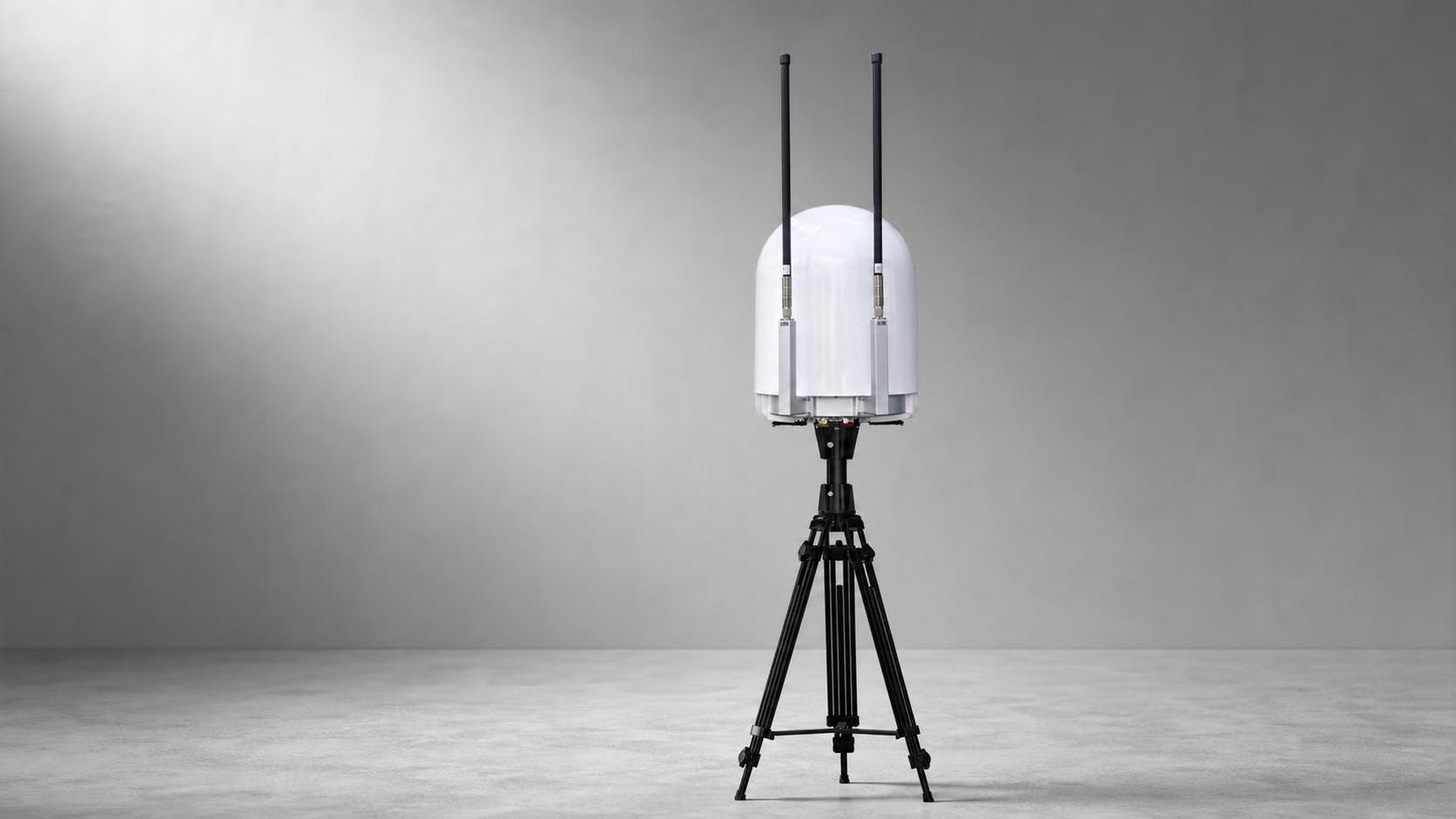
Wideband spectrum awareness
Scans the configured RF range continuously to surface target signals and support rapid classification.
 HYRON YUANSHING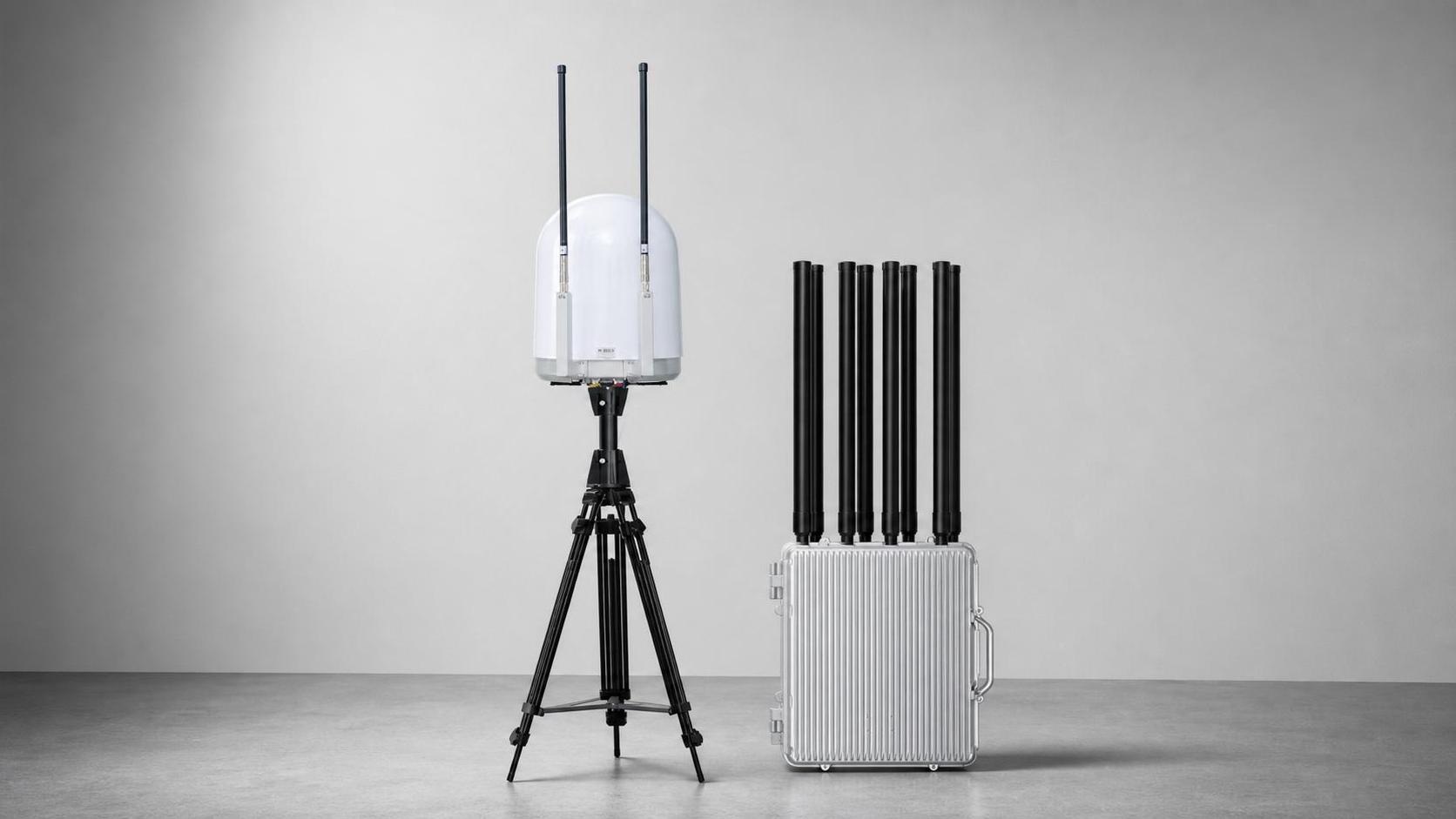
D2A1
A permanent-site platform for long-range detection, identification, FPV evidence capture and coordinated response, with expansion paths for radar, EO/IR and navigation protection.
Discuss this systemProduct dossier
A permanent-site platform for long-range detection, identification, FPV evidence capture and coordinated response, with expansion paths for radar, EO/IR and navigation protection.
Functional highlights
A permanent-site platform for long-range detection, identification, FPV evidence capture and coordinated response, with expansion paths for radar, EO/IR and navigation protection.
Scans the configured RF range continuously to surface target signals and support rapid classification.
One sensing node can coordinate multiple response nodes for wider coverage and staged deployment.
Discovers supported analog FPV links and retains live imagery for assessment, coordination and evidence workflows.
Supports operator-controlled action across the configured bands within the project's legal authorization.
Adds a configurable navigation-signal layer for authorized area protection and coordinated operation.
Technical data
Labels are translated for readability. Figures, units, ranges and option markers follow the source catalog without combining entries.
Source catalog pages 7-8Detection, positioning and controlled-response configurations are provided for lawful, authorized use. Spectrum, aviation, privacy, import and operating approvals remain project-specific.
Share the site, required outcome and regulatory boundary. We will structure the right technical discussion.
Discuss a project